Flying a specially equipped drone, a team of CIP researchers from South America and Africa has successfully used remote-sensing technology to obtain data on orange-fleshed sweetpotato fields in East Africa.
East African drone pilot project started to gather crop data in Tanzania

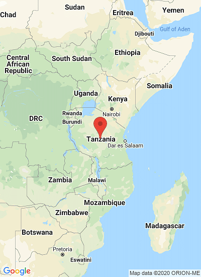
Researchers from the University of Nairobi and the International Potato Centre (CIP) in partnership with the University of Missouri, regional civil aviation authorities, regional agricultural research institutes and regional statistics bodies, have started a pilot project in Tanzania, where a drone was able to pinpoint 14 different varieties of sweet potatoes in Ukiriguru Research Institute in Mwanza.
“Crop statistics are important for planning, policy making and timely interventions to address food security,” said Elijah Cheruiyot, a research associate in remote sensing at the International Potato Centre in Kenya.
Drone-based remote sensing technology is a game changer in the gathering of agricultural statistics data. It is relatively cheaper; boasts high quality sensors and allows collection of accurate statistics on a large scale with minimal effects from clouds or rain, which in some cases blurs images taken by satellites.
“The drone maps everything on the ground, after which the data is processed by specialised software and scientists can then zero in on their area of interest,” said Mr Cheruiyot.
The drones can gather data on all food crops in a particular area and point out diseases and water-stressed areas, making them an important tool in irrigation scheduling. The drones have been known to detect diseases in a field two weeks before the symptoms become obvious to the human eye.
Using sweet potato as the pilot crop, scientists are advocating the use of unmanned aerial vehicles to collect accurate and timely agricultural data.
“This is a great technology and we should develop it further,” said Arnold Bett from the University of Nairobi.
The University of Nairobi is offering opportunities for training in and teaching this technology, specifically developing electronics that aid scientific research. The College of Agriculture and Veterinary Science also does research on agriculture.
Mr Bett said the continuous monitoring of plants using drones can help to increase crop yields because a data log of the plants’ health within one planting season can be useful for the next planting season.
Drone technology can help identify the right pesticides to use on plants. The images captured by the drone can also map areas of a farm where there are diseases or lack of soil nutrients.
The locally assembled drone, otherwise known as Octocopter, has eight multi-rotors and a maximum range of 200 metres from the ground. It can carry up to 2.5kg including the weight of the drone and a 1kg regular camera equipped with specialised sensors.
The equipment is powered by rechargeable batteries that can each last 10 minutes per session.
“We can do at least 20 acres per day and collect accurate data,” said Mr Cheruiyot. While acknowledging that a fixed wing drone could carry out more acreage mapping and cover large areas, he said that an Octocopter can land anywhere, while a fixed wing needs a runway for landing.
Scientists have, however, decried the lack of government and inter government regulation frameworks in the region to regulate and authorise the use of drones in different spheres of life.
In Tanzania, government institutions allow the use of the technology based on their own assessment while in Kenya it is almost impossible to use the technology because of lack of licences.
In Rwanda the situation is slightly better because the scientists were given a field for testing the technology.
Source
The EastAfrican
Sponsored Content

")
")